Indiana University
Indiana University
IU
Skip to Content
Digital Collections
Toggle navigation
Digital
Collections
Switch language
English
Switch language
Deutsch
English
Español
Français
Italiano
Português do Brasil
中文
Login
Indiana Historic Maps
Home
About
Contact
Search Digital Collections
Go
×
Home
Collection Details
Total items
14
Size
unknown
Modified date
2023-09-19
Search Collection Indiana Historic Maps
Go
Works (7)
View results as:
List
Gallery
Masonry
Sort the listing of items
Sort by:
relevance ▼
recently updated
title ▲
title ▼
date created ▲
date created ▼
pages ▲
pages ▼
collection size ▲
collection size ▼
Results per page:
10
20
50
100
Refresh
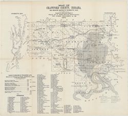
Map of Crawford County, Indiana : and reduced sketch of Wyandotte Cave
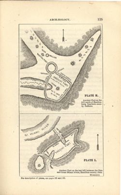
Ancient fort on the hill north of Hardinsburg, Dearborn County, Indiana , Ancient fort...
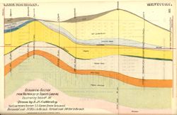
Geological section from Valparaiso to Tobacco Landing, illustrating table no. XV
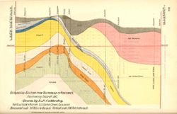
Geological section from Valparaiso to Vincennes, illustrating table no. XVI
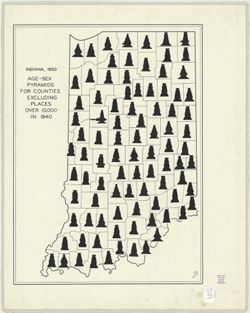
Indiana, 1950 age-sex pyramids for counties excluding places over 10,000 in 1940
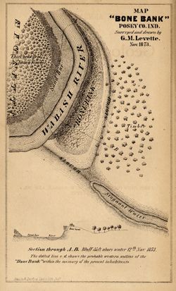
Map "Bone Bank" Posey Co., Ind.
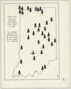
Indiana, 1950 age-sex pyramids for places over 10,000 in 1940